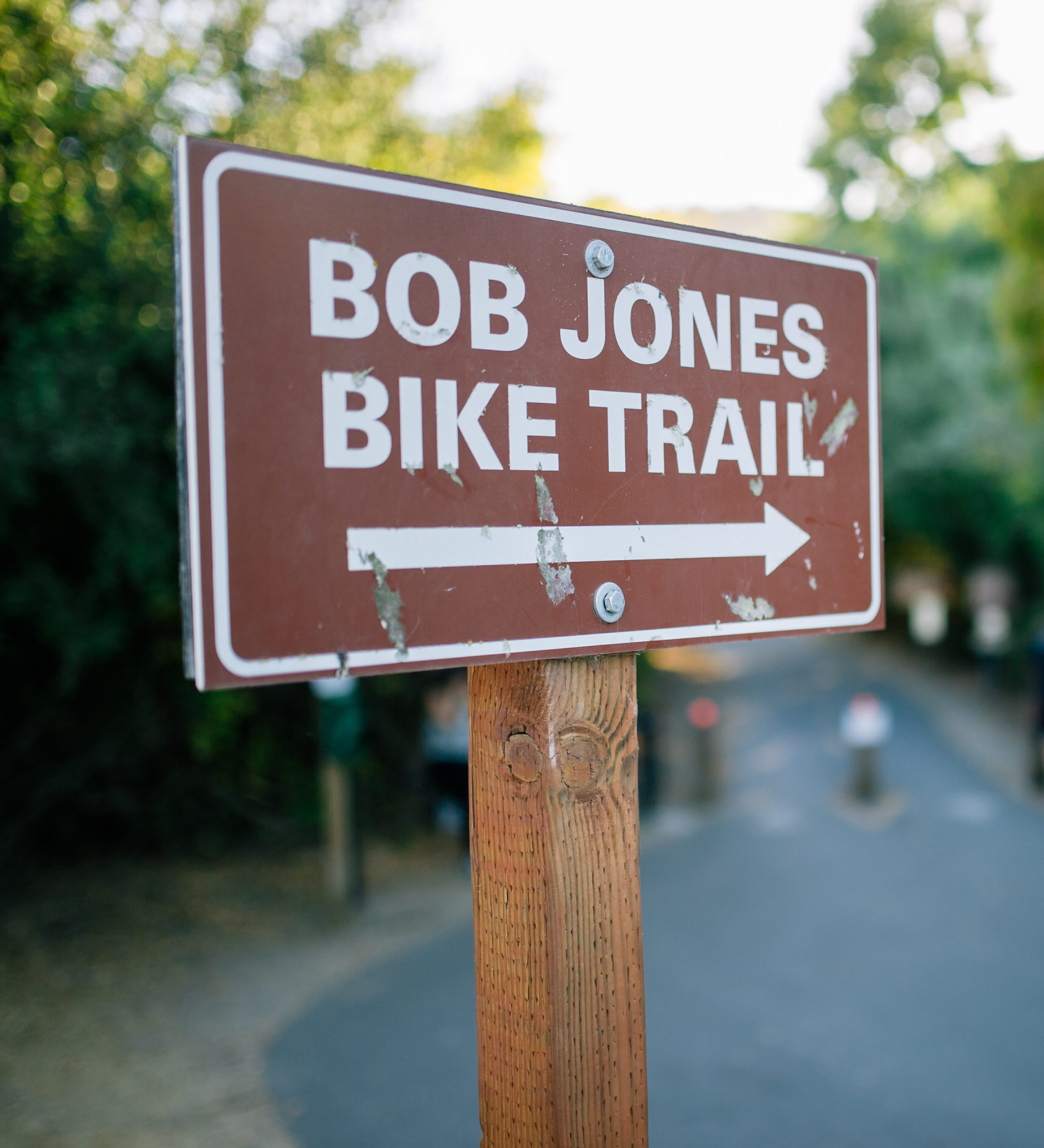
Bob Jones Bikeway Plan
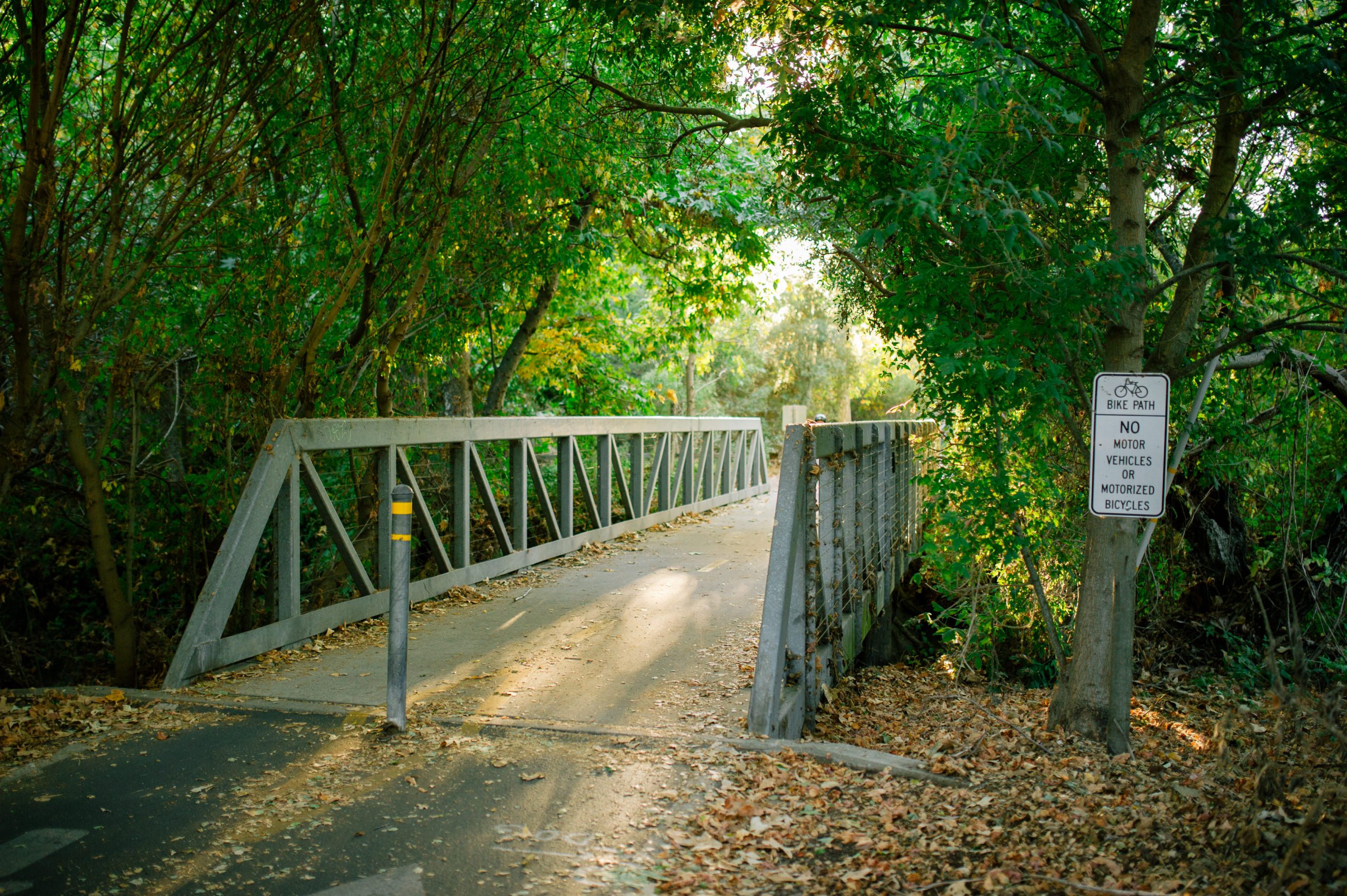
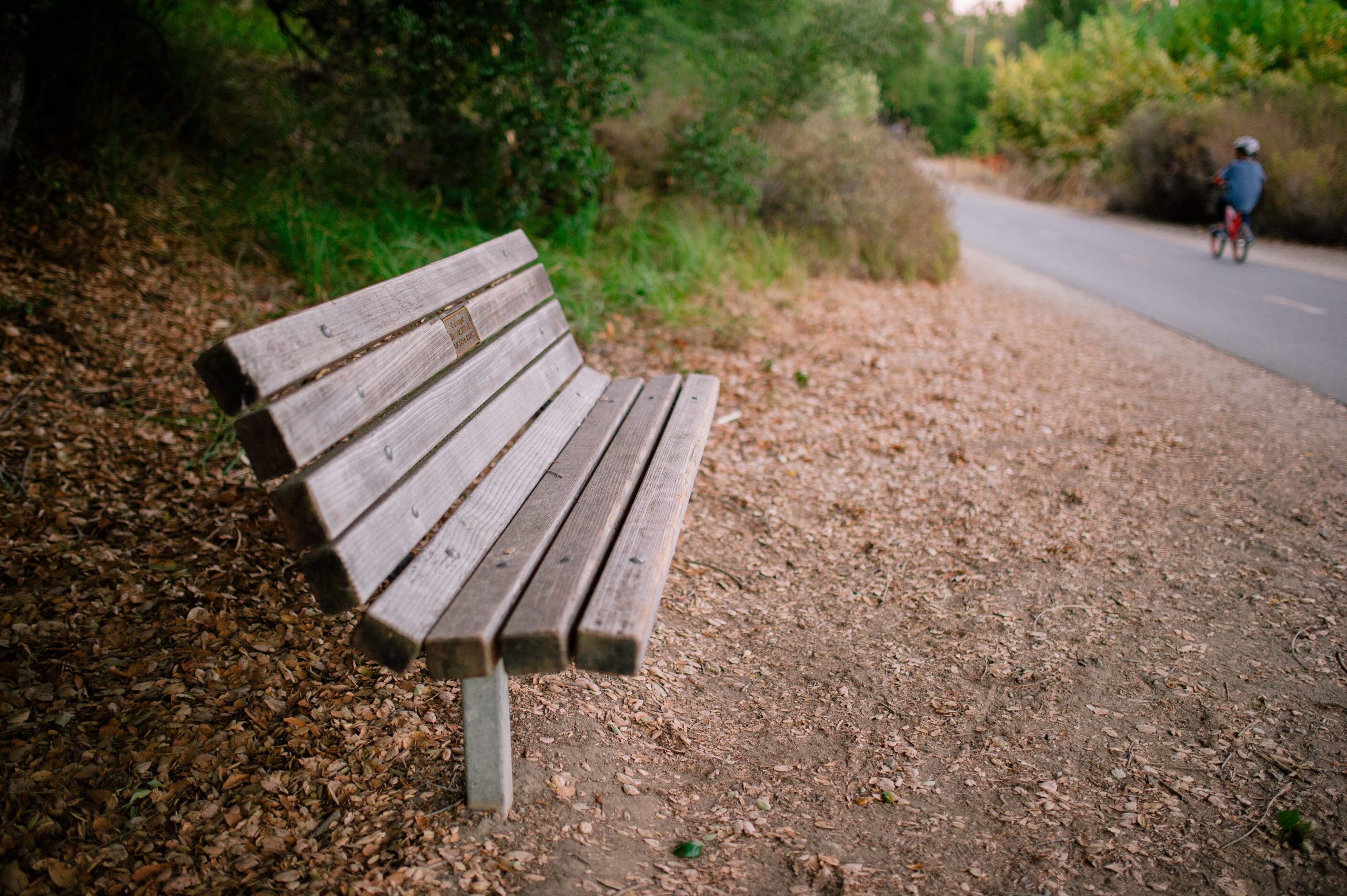
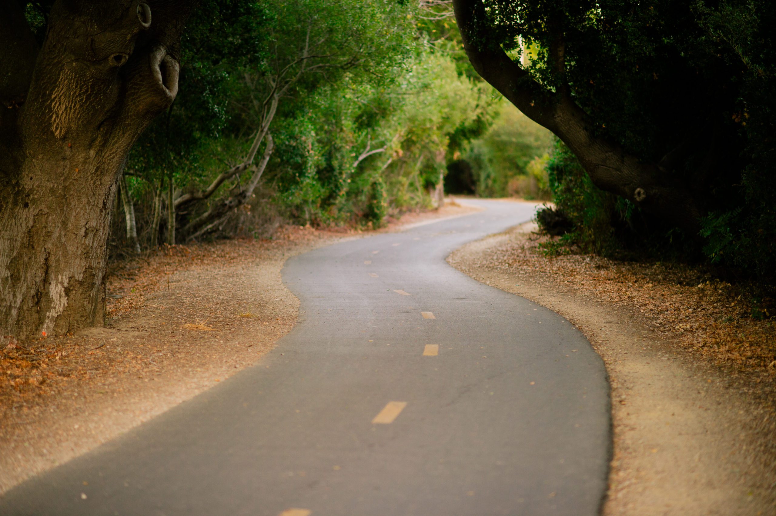
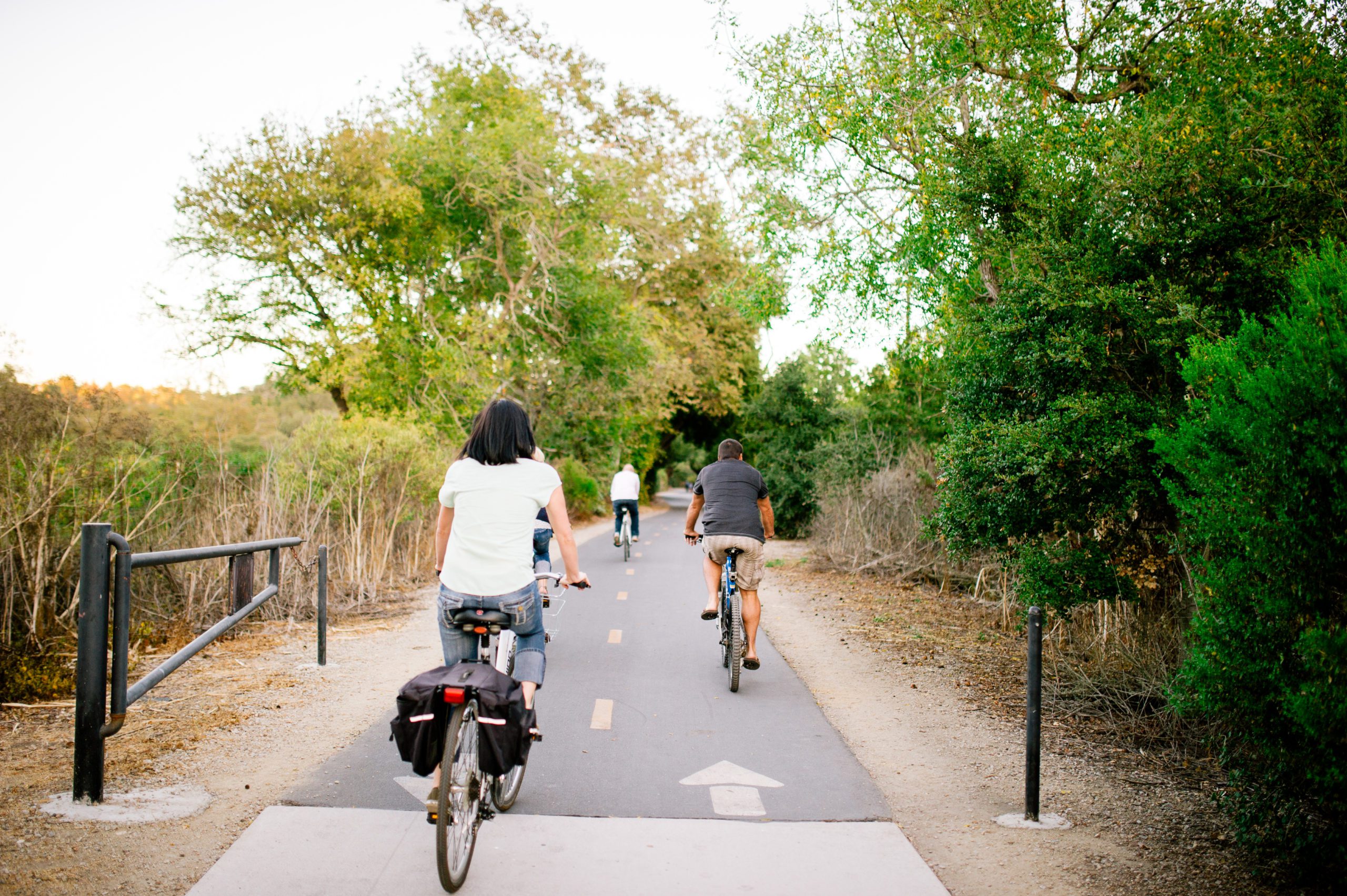
This family-friendly Class I Bikeway is located along the historic Pacific Coast Railway right-of-way. The paved trail departs from a lot on Ontario Road near the U.S. 101 Freeway and traverses through segments of heavily wooded areas along the San Luis Creek, coasting past the apple orchards of Sea Canyon. The trail, named for environmental pioneer Bob Jones who resided in Avila Valley, finds its end at the intersection of Avila Beach Drive and San Juan Street just across from the sandy shores of Avila Beach. Cannon was retained by the County of San Luis Obispo to provide extensive engineering and surveying services for several projects surrounding the Bob Jones Trail. From preparation of plans, specifications, and cost estimates for grading, drainage, and culvert crossings to determining the location and preparation of design parameters for a prefabricated concrete bridge, Cannon helped make the 2.5 mile path into its current multi-modal public route. Eventually the path is planned to connect downtown San Luis Obispo with the town of Avila Beach, and the project has been an ongoing effort for several years. In addition to the aforementioned services, Cannon also prepared a topographic and boundary survey for more than a mile of the bikeway spanning from Ontario Road to San Luis Bay Drive, and located the Pacific Coast Railway right-of-way as it paralleled the bike trail. Extensive research into historical documents to determine the right-of-way and navigating groves of poison ivy were only a couple challenges faced by Cannon’s surveyors in the process.
Location
Avila Beach, California
Key Elements
- Engineering and Design
- Topographic and Boundary Survey