A Measure of Success
Survey is the basis for design. Cannon's team of experienced land surveyors collect accurate measurements to support project needs across disciplines. From large-scale development projects, to topographic surveys and aerial mapping, to 3D laser scanning and modeling, our team employs the latest technology and equipment to increase efficiency and decrease cost while providing quality surveys with attention to detail.
With decades of experience across a broad range of service areas, Cannon’s accomplished surveying and mapping team can provide reliable results and bring increased efficiency to your project.
Services
Surveys & Mapping
- Boundary Surveys
- Right-of-Way Surveys
- Construction Surveys
- Easements and Legal Descriptions
- Topographic Survey
- As-Built Certification
- ALTA / ACSM Land Title Surveys
- Subsidence / Settlement Monitoring
- Parcel and Tract Maps
- Aerial Mapping
- Record of Survey Maps
- Lot Line Adjustments
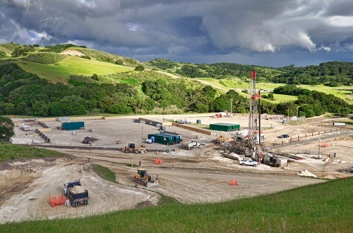
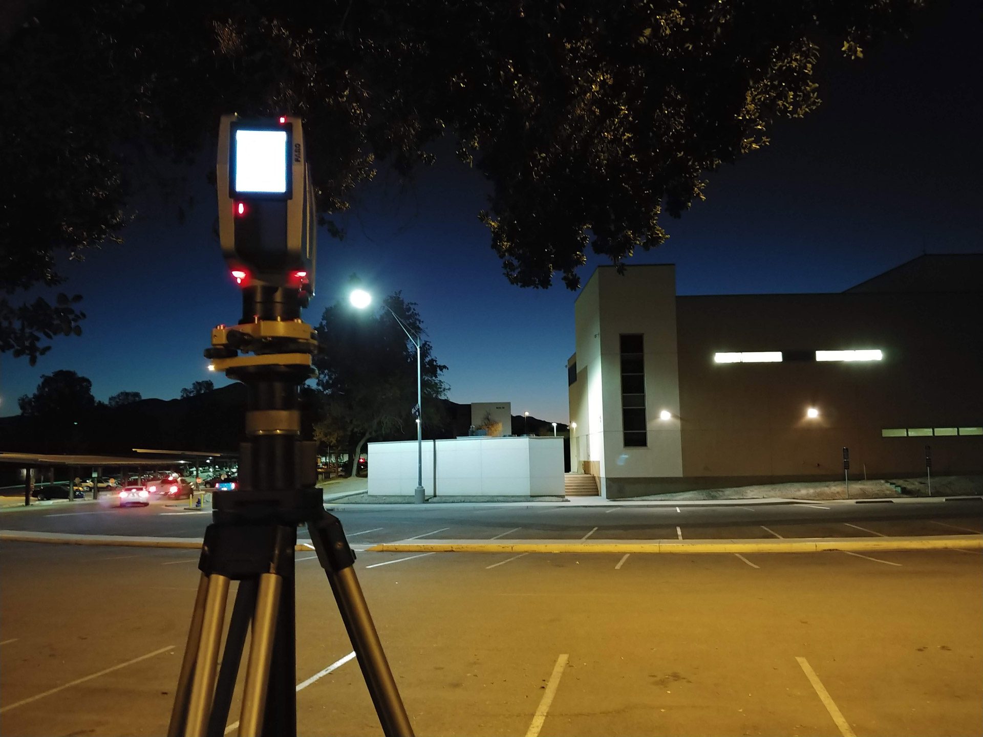
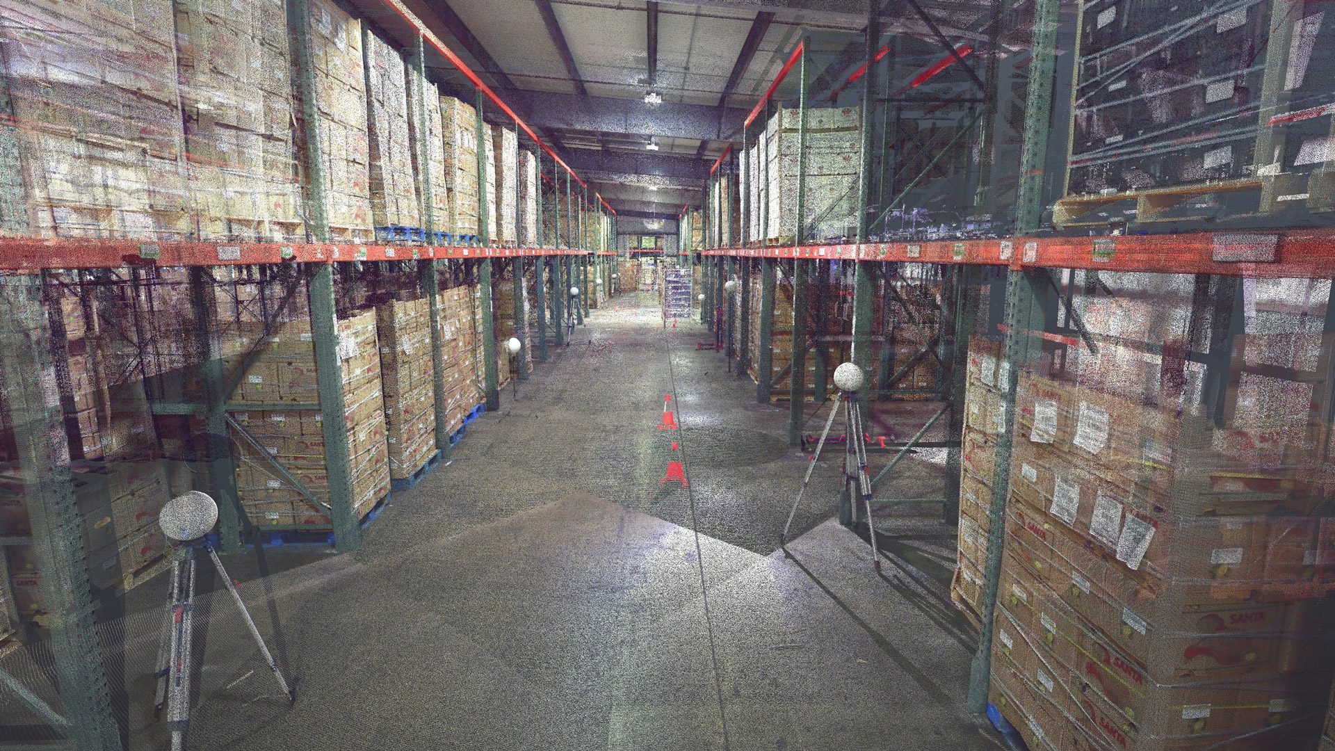
3D Laser Scanning and Modeling
- Buildings (Interior and Exterior)
- Bridges and Support Structures
- Roadways / Intersections
- Landfill Excavations
- Profiles, Cross-Sections, and Earthwork Quantity Verification
- Industrial Facilities and Processes
- Oil & Gas, Power Generation
- 3D Pipeline and Facility Models
- Visual Constraints and Conflict Analysis
- Forensics
- Deformation and Subsidence Monitoring Surveys
Surveying & Mapping Projects
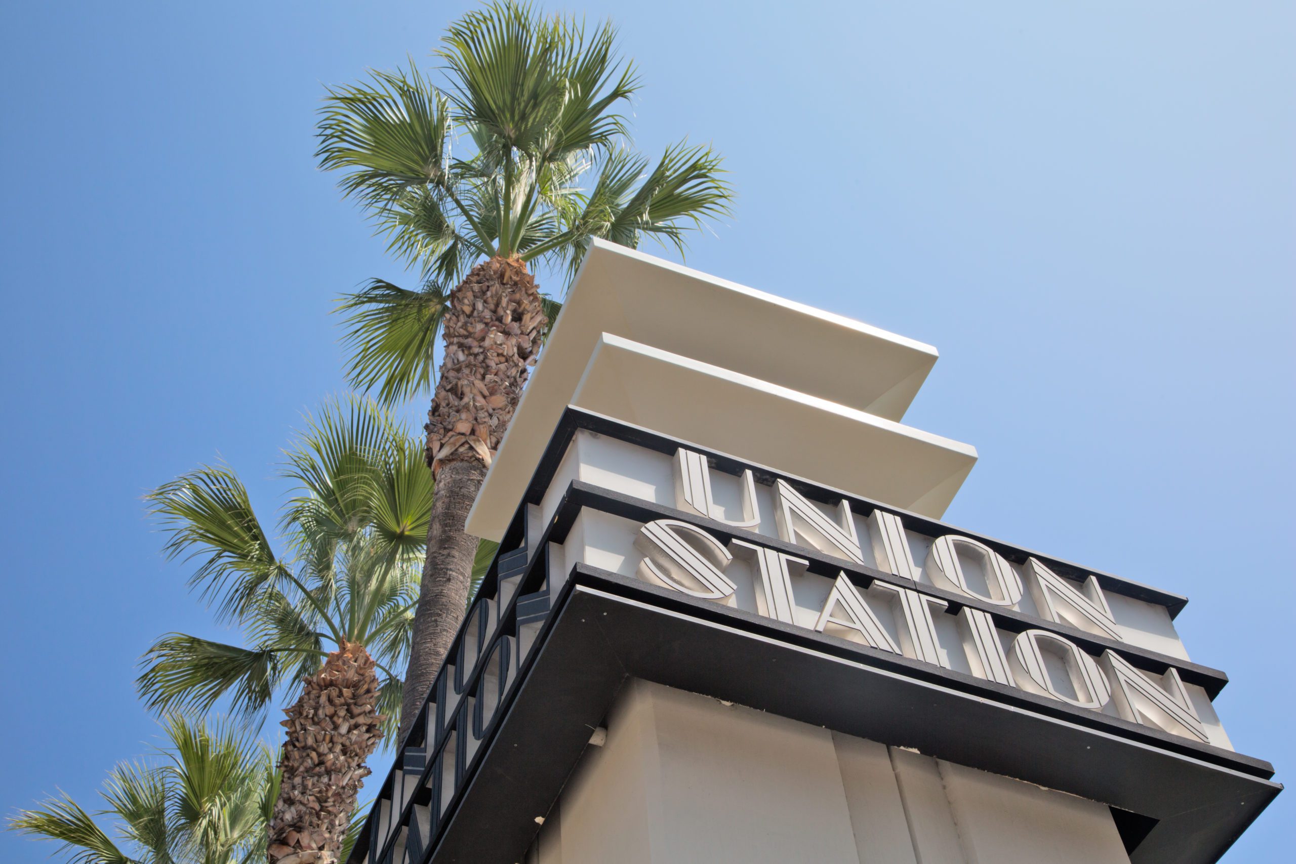
L.A. Metro Union Station
To meet long-term rail needs, Los Angeles County Metropolitan Transit Authority improved the Los Angeles Metro Link Union by expanding the high-speed rail project through downtown Los Angeles. Cannon was selected to provide right-of-way and civil engineering support services.